Products
- View as
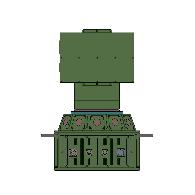
Laser Countermeasure System LCMS
The Laser Countermeasure System LCMS is an active defense system independently developed by Jioptics. It integrates a laser warning receiver, high-power laser emitter, and decoding functions into a single unit. This system is specifically designed to protect high-value targets (such as tanks, armored vehicles, command posts, warships, and critical bridges) from lethal strikes by laser semi-active guided weapons.
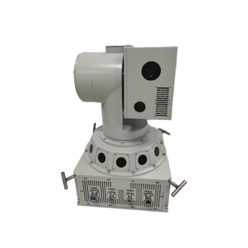
Read MoreSend InquiryLaser Decoy System
The Laser Decoy System is an active defense system. It integrates a laser warning receiver, high-power laser emitter, and decoding functions into a single unit. This system is specifically designed to protect high-value targets (such as tanks, armored vehicles, command posts, warships, and critical bridges) from lethal strikes by laser semi-active guided weapons.
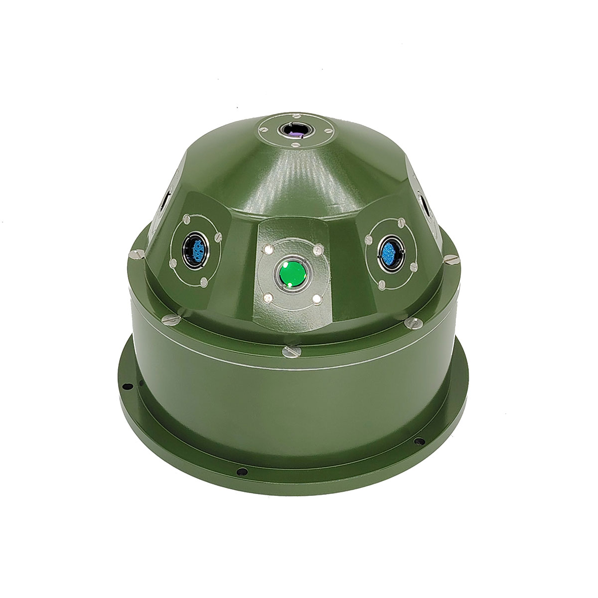
Read MoreSend InquiryLW360X Laser Warning System 360° Detection
This is a typical laser warning system for land, sea, air, and amphibious platforms, applied to laser threat warning of various fixed/mobile platforms (or important locations), detecting laser radiation in a timely and accurate manner, obtaining incoming laser radiation information, outputting triggering signals and alarm information to activate laser active/passive interference, and linking laser active/passive countermeasure equipment to take countermeasures, thereby significantly improving survival capabilities.
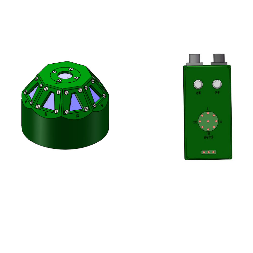
Read MoreSend InquiryLaser Warning System
Laser Warning has the function of detecting the laser signal output from laser rangefinders and laser target indicators, providing information on the orientation of the target.
Read MoreSend InquiryWearable Laser Warning System LWS
The Wearable Laser Warning System adopts a passive detection mode. When the enemy uses a laser rangefinder to conduct distance reconnaissance operations on our personnel, the alarm immediately responds and provides warning information for our personnel to take evasive measures. The laser warning device is worn by a soldier. A soldier can wear five laser warning devices to achieve early warning in the upper hemisphere airspace. This device is very suitable for security warning in border and dangerous areas.
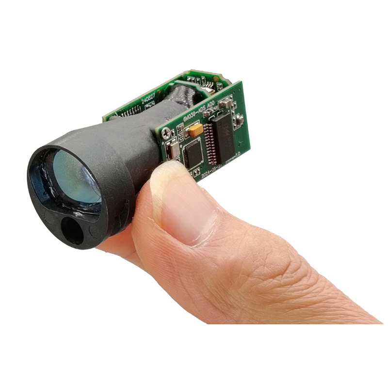
Read MoreSend Inquiry10km Laser Rangefinder module for Anti drone ststem
The STA-WR10000X is a dedicated laser ranging module for measuring UAV targets. It is developed based on a 1064nm YAG laser, featuring a large divergence angle of up to 0.8 mrad and high-quality laser beam. It can easily lock onto a UAV target with a reflection area of 0.1m² at a distance of 10km and measure a UAV target with a reflection area of 2㎡ UAV target up to 15km away.
Read MoreSend Inquiry
